Directions: Take Oracle North out of Tucson. At Oracle Junction turn East and follow AZ77. Pass Oracle (stay on AZ77 dont go into town) and continue East by North East on AZ77 until you come to the town of Mammoth. Turn slight right onto Main street as you enter mammoth. After you pass 'Marias Tortilla's' and the lions club on your right turn right onto bluebird rd (this is actually copper creek road). Follow this road east through the road closed sign. Now you'll pass through a flood plain (which is also a good woodland site for play). On the other side you cross and intersection with river and then be on copper creek rd (proper). Most sites advise at least a 2WD pickup truck for this trip, a car can make it but will likly sustain damage, we had to abandon a car 4/5ths of the trip and take the truck. The last mile into the actual ghost town requires a 4wd but can be hiked from the last area that a 2wd has access to. CipheerBlue scouted the path by foot and found their is a gate that prevents motorized vehciles from making it all the way into town so some hiking WILL be required to play in the actual town itself.
We should setup a radio frequency (normally channel 10 subchannel 00) for administrative use before the day of in case someone gets stuck down the canyon and needs a shuttle for the last mile or two.
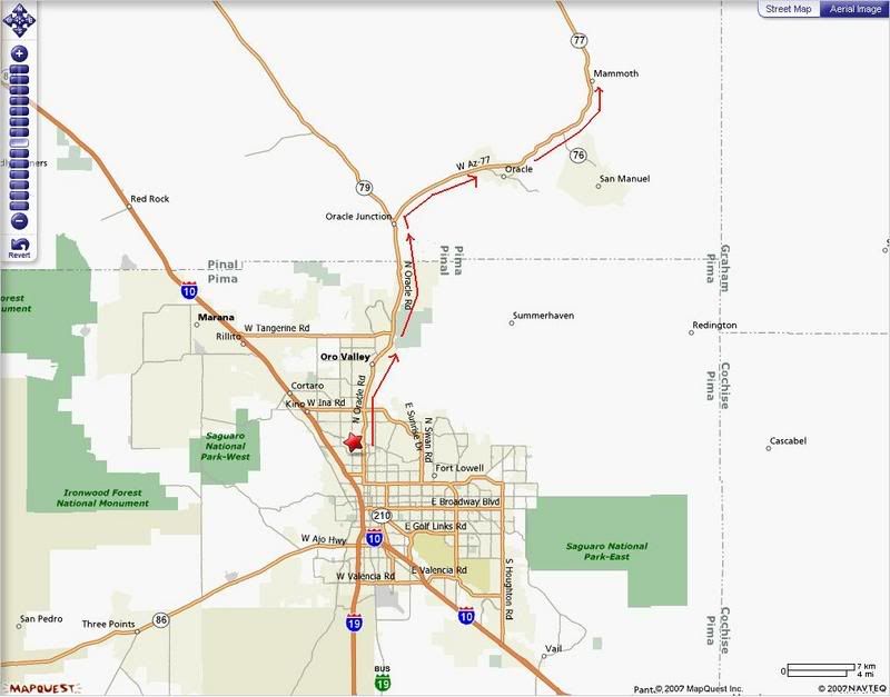
Overall trip time: 1 hour from Tucson to Mammoth and about 1 hour from Mammoth to the site
Overall map showing path from Tucson to Mammoth:
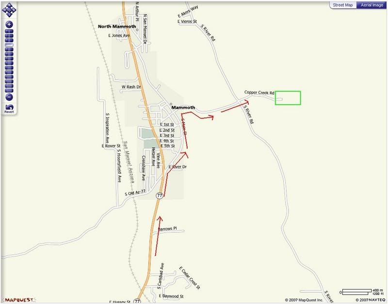
Map of route within Mammoth to reach copper creek road:
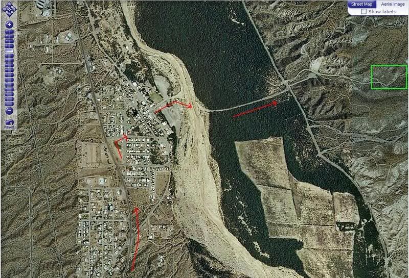
Map of copper creek road (ignore the green box the AO is much further up):
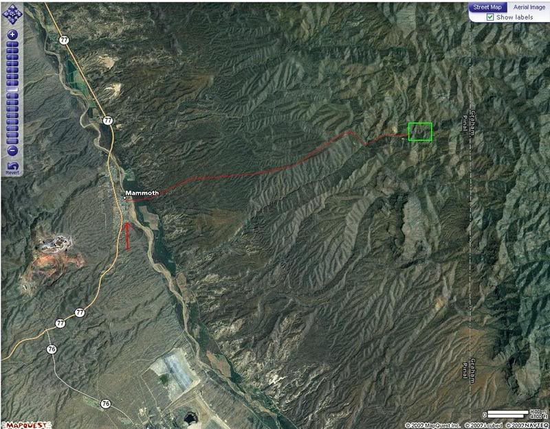
High Level Sat map showing the rough path from the Mammoth flood plain up into the canyon (takes about 1 hour from canyon mouth to site on dirt road):